GIS Hydropower Resource Mapping for ECOWAS Region
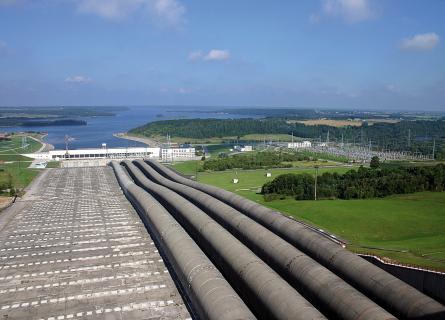
Small and medium-sized hydropower has great potential for future development in West Africa
This is a region that is faced with a constant shortage of energy supplies, which limits economic and social growth.
The river sections suitable for the development of small and medium-sized hydropower plants are mainly located in headwater areas where there are no gauging stations. In order to assess the hydropower potential, the discharge data must be regionalised and the gradient of the river courses must be determined.
In this project AFRY assessed the hydropower potential of about 100,000 river reaches in the ECOWAS countries of West Africa. The data layers produced by AFRY will be integrated into the ECOWREX mapping system of the ECOWAS Centre for Renewable Energy and Energy Efficiency (ECREEE).
Hydrological modelling
A detailed river network for the West African region was developed with GIS tools from digital elevation models.
Discharge is estimated for each river reach with a water balance modelling approach, using rainfall and vapotranspiration data as inputs. Discharge data from about 400 gauges in the region enable calibration and evaluation of the results.
The modelling results are integrated in several GIS layers:
- River-network layer showing hydropower potential
- Sub-catchment layer showing regions suitable for small hydropower
- Climate Change layers
- Country reports
Project impact
The impact of climate change on the flow regime and the hydropower potential assessed. The data layers produced by AFRY were integrated into the ECOWREX mapping system of ECREEE.
Facts about the project
Client: ECREEE – ECOWAS Centre for Renewable Energy and Energy Efficiency
Services:
- Water balance modelling
- Hydropower potential assessment
- Climate change impact assessment
- GIS mapping
Ausführungszeitraum: 2015—2016
Location: 15 ECOWAS countries of West Africa