Survey & Mapping
The market’s broadest portfolio of laser scanning services
We offer a complete process based on client needs to meet the requirements laid down in each individual instance. We combine state-of-the-art technology with our own specialist skills.
As one of the pioneers in 3D laser scanning we have built up a rich resource of competence in a number of areas over the past ten years. We can quickly capture and replicate a complete picture of reality in any desired 3D format. The result is a highly detailed and geometrically accurate model. Any kind of surface can be scanned and data is captured in three dimensions as x, y, z coordinates.
We then edit and process the results to produce finished manufacturing documentation or as-built drawings and records, and carry out the necessary analyses. We also produce a database where we store data for our clients’ projects and offer customer-specific solutions for how to use data scanning in the life cycle maintenance of a product, installation, construction or plant. The data can be processed in many different ways to produce a result that is appropriate in each specific instance.
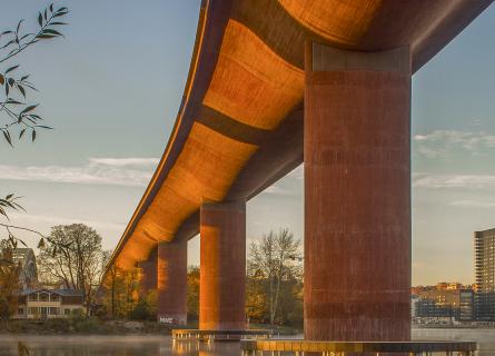
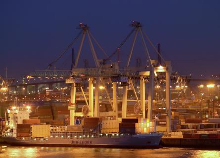
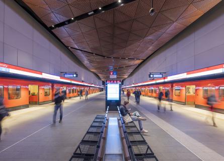
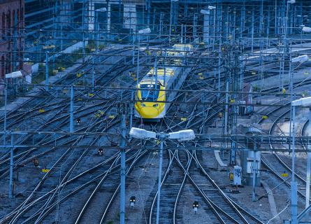
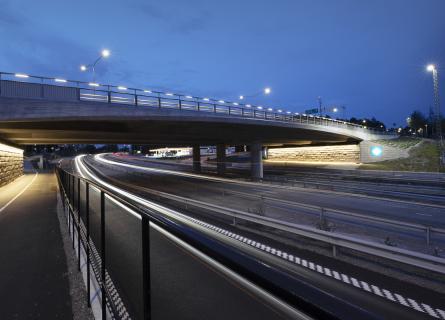
Laser scanning is a technique with a wide range of applications that include the rebuilds of industrial plant, the digitisation of infrastructure projects (rail tracks, tunnels, bridges, traffic intersections), architectural and construction projects, as well as a long list of industrial applications (reverse engineering, design, out-turn samples, etc.).
Examples of our services:
- Quick, complete capture and replication in 3D.
- Measures all sorts of surfaces quickly and without contact.
- Measures accurately, regardless of lighting conditions, day or night.
- Produces a detailed and geometrically correct model.
- Data can be used for subsequent CAD production and is ideal when old drawings are of poor quality or missing.