Cilamaya Flood Study, Indonesia
The objective of this study was to determine 100-year flood water levels
for the design of flood dikes around the proposed Cilamaya Combined Cycle Gas Power Plant.

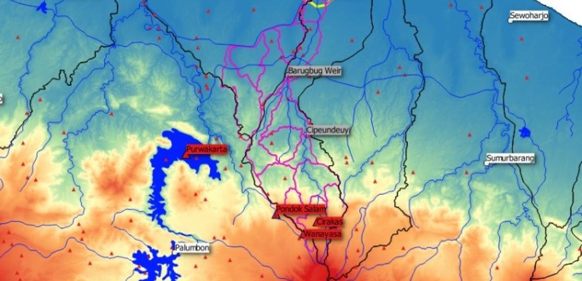
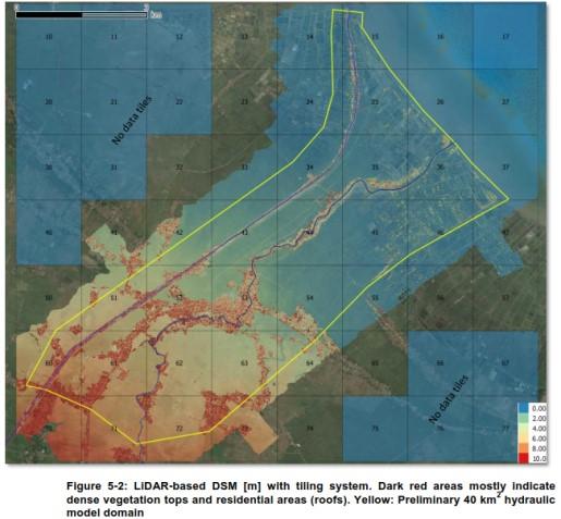
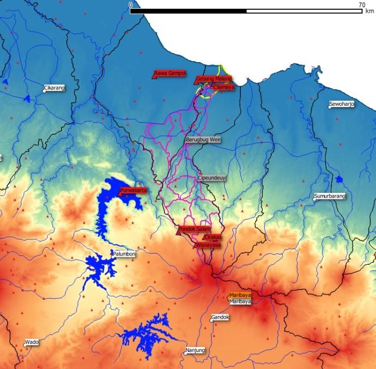
Hydrological analyses were carried out first, including flow regionalization and rainfall-runoff modelling. By that, flood hydrographs for both rivers nearby the site were computed. Then, a 2D-hydraulic model was prepared from a LiDAR-based DTM, cross-sectional surveys and sea bed elevations. With this hydraulic model, several runs and sensitivity simulations were performed including the current-state investigation.
Together with the results of the tidal and storm surge analysis and due consideration of uncertainties in the input data, the simulated water levels were used to elaborate a proposal for the flood dike design.
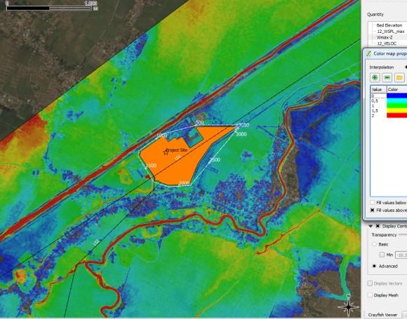
After receiving revised dike lines, the hydraulic model was finally run to re-define the dam heights and dimensions of the flood flow paths around the site as well as to demonstrate that the sensitive areas near the project site would not be subject to increased flood levels.
The results of this study helped the client meeting the required flood protection level and demonstrating that the proposed measures would not increase flood risks in the adjacent populated areas.

Facts to Project
Client: Pertamina (Persero) and Marubeni Corporation
Services:
- Data collection, data review
- Hydrologic analysis (Design storm, rainfall-runoff modelling, flood regionalization),
- Development of 2D hydrodynamic model from LIDAR, cross-sections & sea bed survey
- Hydrodynamic simulations including sensitivity analysis
- Optimization of dike system and lateral drainage design
- GIS-postprocessing, reporting, client presentation
Project period: 2015 - 2016
Location: Indonesia


Interested in our offering? Contact us!
