Natural Hazard Management
Solutions for Energy, Infrastructure and the Environment
Nature is a living organism that is continuously changing and can never be completely controlled by humans. Events such as floods, rock-falls, landslides, avalanches, and earthquakes influence our living space. Flexible and tailor-made solutions are essential to ensure a safe coexistence between humans, infrastructure, and nature.
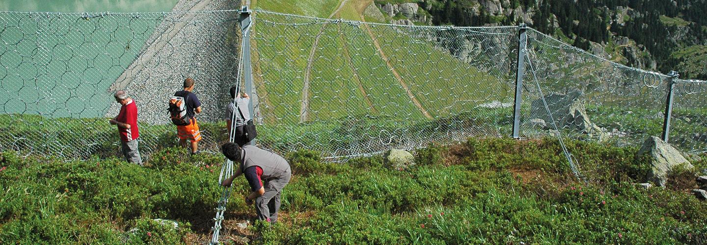
A natural hazard is a potentially damaging physical event, that may cause injury, the loss of life or damage to property, social and economic disruption or environmental degradation. Natural hazards can be single, sequential or combined in their origin and effects. Each hazard is characterized by its location, intensity, and probability of occurrence.
Such hazards represent a serious threat to human life and assets. Therefore, a thorough assessment of the prevailing hazards and risks in a specific region is imperative for any kind of development activity. This is particularly important in disaster-prone areas, such as floodplains, steep valleys in mountainous regions, areas of higher seismicity, or areas exposed to storms and high precipitation.
The time-dependence of the different hazards, which plays an increasing role in connection with climatic change, must be addressed. This requires a periodic reassessment of hazards when new information (e.g. melting of permafrost, etc.) becomes available.
Expertise and experience in natural hazard management
The planning of natural hazard management strategies is one of our key services and begins with a detailed assessment of the risk of natural hazards. This is of utmost importance and is the prerequisite for the safe design and safety assessment of all types of infrastructure projects.
Our experienced engineers, geologists, hydrologists, and scientists execute successful projects all over the world, assessing various types of hazards in a wide range of physical environments. We support you in all related aspects of natural hazard management, from assessment and strategic conception to project planning, approval, construction supervision and management.
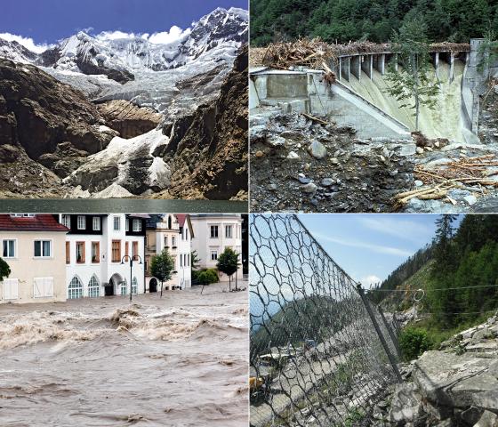
Various types of natural hazards can be distinguished, depending on topographic and climatic conditions in the project area.
Geological hazards
- Earthquake
- Landslides and slope failure
- Block/rock-fall and rock avalanche
- Debris flow
- Ground subsidence and liquefaction
- Dissolution of rock, etc.
Meteorological and hydrological hazards
- Heavy rain
- Flash flood
- River flood
- Tsunami
- Strong wind
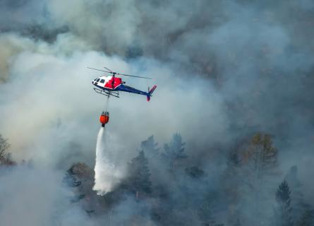
- Wild fire
- Snow avalanche
- Anomalies of temperatures, etc.
Methodology
Disaster Risk Reduction
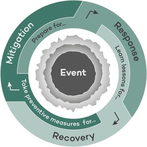
Disaster Risk Reduction (DRR) has a long tradition in Central Europe, starting with the construction of the railways through the Alps and the development of water resources for energy production with run-of-river power plants and large storage schemes. Some of these achievements have been in successful operation for more than a century. Today, risk-based approaches for particular natural hazards, such as rock-fall, floods, and earthquakes, are gaining in importance. A risk-based approach comprises standardized procedures and clearly defined logical steps of activities to allow for a flexible application of the methodology, dependent on the project’s size and complexity, the type of hazards, and their potential impact.
Vulnerability
A measure of susceptibility of an object or community to being harmed physically or economically by physical, social, economic, and environmental hazards or processes. The vulnerability is determined by the exposure, the value and the susceptibility to damage.
Risk
The product of the probability of hazard and the impact (probability of harmful consequences, or expected losses resulting from interactions between natural hazards and vulnerable object or system), risk is conventionally expressed by the notation:
Risk = Probability of Hazard event x Vulnerability
AFRY’s digital solutions for geological remote mapping
Remote sensing and mapping is an important method to gain data in difficult to access and dangerous areas. AFRY employs leading solutions for the remote geological mapping of geological features.


3D trajectory analysis based on a digital elevation model
Digital elevation model produced by means of drone photogrammetry. Pre- and post-processing in GIS.

AFRY’s approach to assess and quantify the natural hazards, risk and necessary mitigation measures
1. Hazard/Risk
- Analysis of all prevailing hazards
- Analysis of vulnerabilities
- Use of harmonized and natural hazard-consistent procedures
2. Risk Evaluation and definition of protection goals
3. Definition of design criteria
4. Planning of measures according to sustainability principles
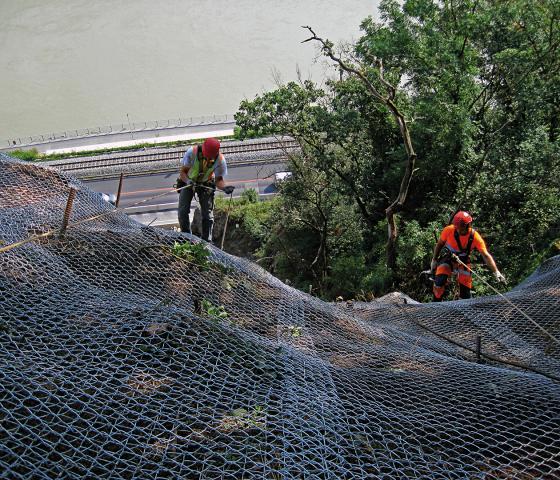
- Planning of measures, employing an integrated approach by following applicable codes, regulations and recommendations
- Planning of sustainable solutions
- Partnership with all project stakeholders and authorities
The basis for answering the principle questions is a series of map types
Event Map and Event Register
Display record events that occurred in the past and provide an overview.
Map of Phenomena
Documents past events, phenomena, and sources indicating future potential events.
Hazard Map
Shows where a hazardous process can occur. Most hazards are distinguished according to the type of hazard, source area, flow path, and impact area.
Danger Map
Indicates the intensity and probability of the process. Primary management tool; justification for structural protection measures; basis for site monitoring, emergency planning, and risk assessment.
Vulnerability Map (Map of Potential Damage)
Includes economic assets and is used as a tool for emergency planning, priority setting and as a basis for the production of risk maps.
Risk Map
Shows at a glance how great the probability of risks occurring and their possible effects are. The risk map is the basis for the chronological and financial prioritization of protection measures and is the most appropriate tool for decision making about structural and non-structural measures.
Intensity Map
Provides the spatial extent and the corresponding intensities of a natural event, having a specific return period or probability of occurrence.
The type and complexity of the project define which map types will be applied for the assessment.

How our methodological approach brings benefits to our clients
State-of-the-art methodology
The working steps are well defined and standardized and can be applied for different natural hazards for both infrastructure projects (includes moving live assets) and for fixed assets such as power plants.
Modular concept applicable to the needs
The necessary and most economic mitigation measures (both physical and procedural) can be adjusted to the size and complexity of the situation and project.
Efficient and effective treatment of natural hazards
Only hazards with real impact on the project will be treated and the mitigation measures can be tailored to the risk. However, all possible hazards will be considered.
Transparent and reproducible procedure
The standardization of the steps and measures enables transparent reproduction of the results for all stake holders.
Cost control
Our tailored studies according to the clients’ needs lead to the most cost-efficient solutions.
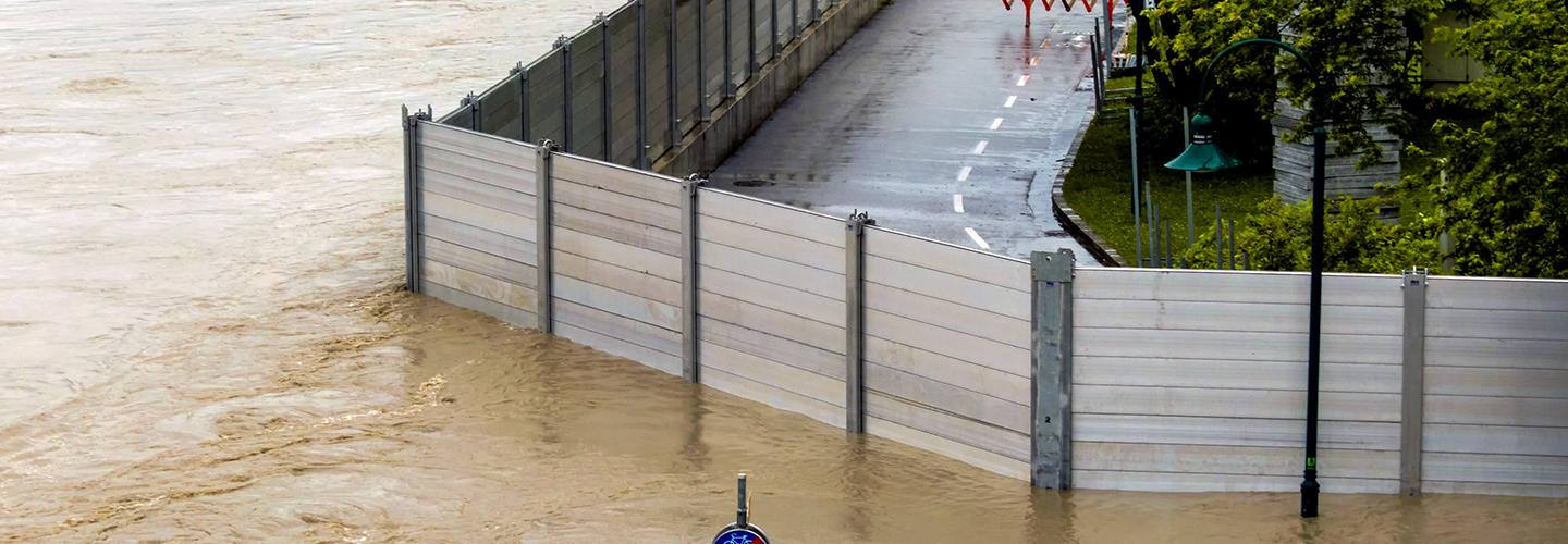

Natural Hazard Management brochure

